New Google Earth Satellite Imagery for May 2008 II
Jun 01 2008 Sun
2:07 am PHT
Wow! There’s no official word yet from Google but it seems that they have updated their satellite imagery data in both Google Earth and Google Maps at the same time early tonight. Usually, there’s a lag time: Google first updates the imagery in Google Earth before porting it over to Google Maps between a week to a month later. I only recall one time that they pushed data at the same time. Well, this update is the second time this month. Update: well, the data seemed to have appeared in Google Earth about at least three days ago and was updated in Google Maps tonight.
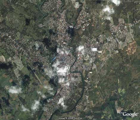
Anyway, I’m seeing a lot of areas in the Philippines with new high-resolution photos. Significant places include Lucena City (screenshot below), Ormoc City, many areas in Central Luzon, Marinduque, Catanduanes, Southern Leyte, parts of Bohol (sadly no Tagbilaran, Panglao, nor Chocolate Hills), southern parts of Cebu, northern Negros, western parts of Zamboanga City, northern Cagayan, and parts of central Mindanao.
And as far as I know, this update marks the first time that Google sourced their satellite imagery from GeoEye. Google has been getting most of their international satellite data from DigitalGlobe. It should be noted that both Microsoft and Yahoo! get their satellite imagery from GeoEye.
While new high-resolution imagery is very much welcome, I must protest! It’s getting harder and harder to make a chronicle of imagery updates! I would’ve preferred a lag time between Earth and Maps so that I could’ve noted exactly which locations got updates. 
Comments
Comments are currently disabled.